Services We Offer
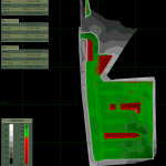
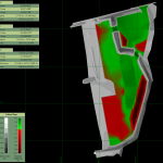
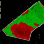
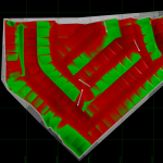
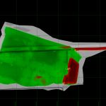
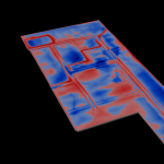
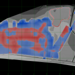
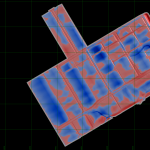
Earthwork Takeoffs
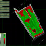
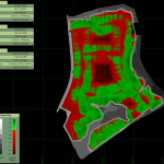
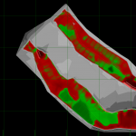
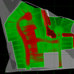
We will provide you with detailed customized reports that can include Cut to Fill Maps, Quantities, Material Sectionals which can include areas for Heavy and Light Duty/Base/Finish/Asphalt/Sidewalks/Areas of Disturbance/Linear Feet of Curb/Concrete/Overbuilds or whatever items you need.
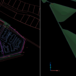
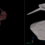
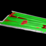
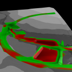
3D GPS Machine Control Surface Models
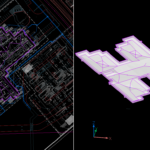
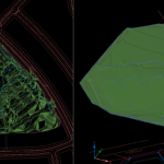
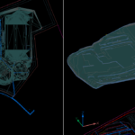
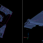
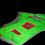
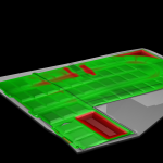
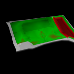
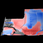
We can recreate and convert civil pdf plans or cad files into a three-dimensional GPS machine control surface model. We elevate your project using a combination of plan alignments, profiles, contours and plan details. We can also include aerial imagery overlaid onto your project to help clarify where you are on your site. We can customize your files to include GPS control points or Benchmarks from the plans, Alignments for Stationing, Offset 3D line-work for accurate blade control if needed, add 3D utility lines or separate models for proper trenching, or even remove items like curb islands and sidewalks which most times slow down your machine operator. A PDF map of any field control data included in your file will always be provided so you can set up easily and go.
Field Layout
We can build files for your companies layout or survey crews including providing points for high points, public or private utilities along alignments or with an offset, curb & civil building pads, or even grading points at set intervals for excavation checks. We can also provide 2D or 3D line-work files for your data collectors and even PDF point maps for layout.
- 3D GPS Machine Control Construction Surface Models
- 3D GPS Machine Control Construction Surface Models
- 3D GPS Machine Control Construction Surface Models
- 3D GPS Machine Control Construction Surface Models
- 3D GPS Machine Control Construction Surface Models
- 3D GPS Machine Control Construction Surface Models
- Earthwork Takeoff
- Earthwork Takeoff
- Earthwork Takeoff
- Earthwork Takeoff
- Earthwork Takeoff
- Earthwork Takeoff
- Earthwork Takeoff
- Earthwork Takeoff
- Earthwork Takeoff
- Earthwork Takeoff
- Earthwork Takeoff
- Earthwork Takeoff
- Earthwork Takeoff
- Earthwork Takeoff
- Earthwork Takeoff
- Earthwork Takeoff
- Earthwork Takeoff
- Earthwork Takeoff
Telephone No.1-512-656-8856
Let's Work Together
Our Mailing Address
P. O. Box 243
Heidenheimer, Texas 76533
Give us a ring or send us an email!
John Wilbur - Operations Manager
+1 512 656 8856 john@3dcsm.us
Mon - Fri, 9:00am - 5:00pm
